Wyoming!
📍 Fort Laramie · Register Cliff · Oregon Trail Ruts, WY
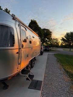
We got an early start. Yawn. I can see I’m going to need three weeks of sitting in one place to recover. Two nights in one place is my minimum.
Keith hustles outside and disconnects the electric, water, and sewer connections, then hitches up the trailer. On the inside, I batten down the hatches: safety bars in the fridge, A/C off, water pump off, toothbrush holders, glasses, pill containers, and dishwashing things all stowed in the galley — and the hair tie over the paper towels.
Keith does the daily plotting with the Auto Tour book, picking out the sights. Today we had some good ones.
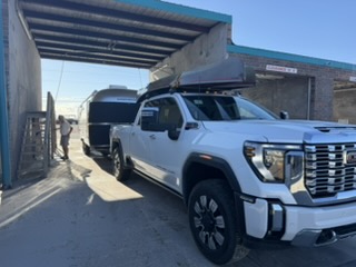
First Stop: The Trailer Wash
He found a car wash yesterday with a scaffold setup on each side — perfect for a trailer. First order of business this morning was washing it down, and he finally got to clean off the solar panels.
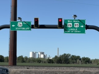
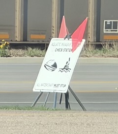
Port of Entry: The Canoes
Since we brought our canoes, we had to stop at a Port of Entry to get them inspected and register where we planned to put in. Keith told the inspector: the Columbia River. If we decide to launch anywhere else along the way, we’ll buy a permit for that state.
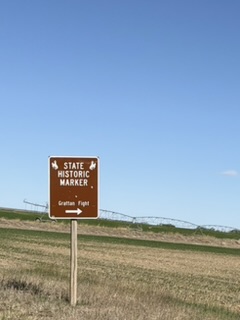
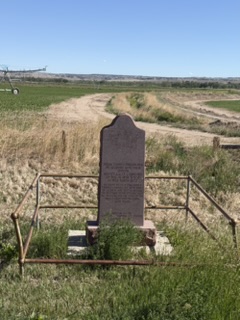
The Brown Signs
We’re always on the lookout for brown highway signs — they mark the history. Our first sighting today told a story we’ve now heard a few times along the trail.
A Sioux Indian killed a cow that had wandered away from a Mormon emigrant party. Soldiers were sent to find him and hold him accountable. His tribe was not happy — and they killed the entire regiment. This was the beginning of years of skirmishes between the Native tribes and the people who believed they had the right to pass through land the Indians had called home their entire lives. It was called the Grattan Massacre.
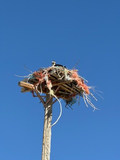
Taking some county roads, we spotted this nest high up on a pole. Google confirmed: Osprey.
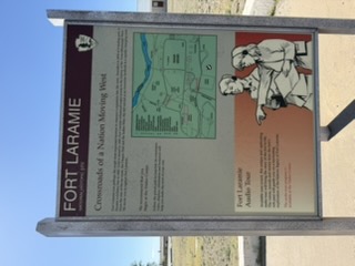
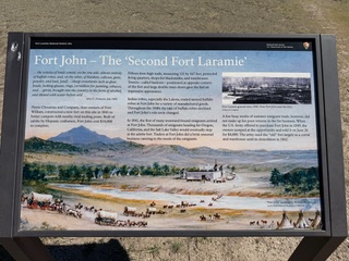
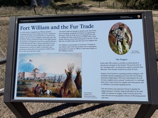
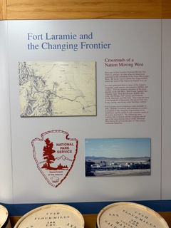
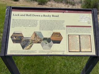
Fort Laramie
First big stop — and we were the first trailer there. The wind today was relentless: constant gusts up to 40–50 MPH. It took a firm grip on the wheel and a reduced speed to stay safe on the highway.
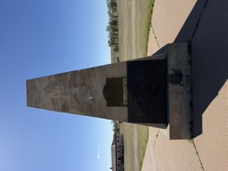
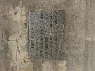
Check the plaque on the right — so many of these places survive because of a few interested residents.
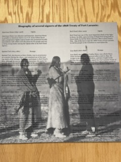
In the museum I saw a copy of one of the treaties the US Government signed with the Native tribes, guaranteeing them their land if they would allow emigrants to pass through on their way west. The treaty involved many tribes — the list below names them.
Fort Laramie went through several changes — of name and of purpose. During the Civil War, many soldiers left this fort to fight in that war. I read a lot but apparently did not retain as much as I would have liked to. Thank goodness for signage!
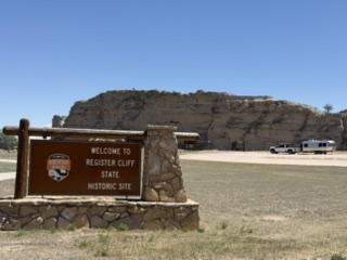
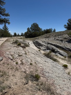
Register Cliff
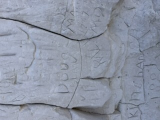
After Fort Laramie we headed to Register Cliff — a place I had read about in several books on our suggested reading list. Emigrants found the brule stone soft enough to carve their names into it. Later visitors did too — including, less romantically, someone in 1977.
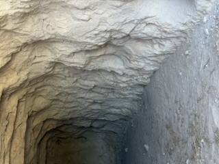
This cliff was originally on land owned by a farmer, who eventually deeded it to state and federal lands. The tunnel-like photo is an old root cellar the farmer used to keep foods cool; it’s boarded up now, but I took the picture through the slats.
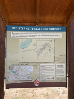
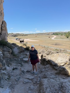
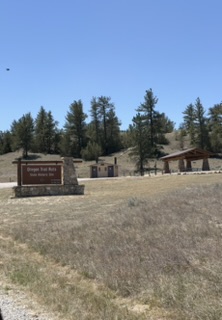
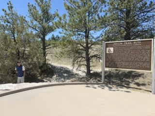
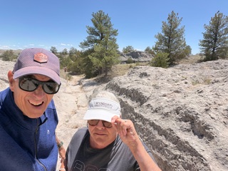
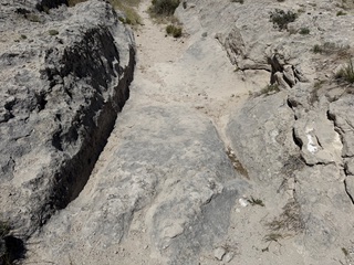
The Ruts
This was the stop we were most excited about. The same soft stone that recorded the pioneers’ names also recorded their wagon wheels. The passing of thousands of wagons in exactly the same path ground down the rock and left lasting ruts — still clearly visible today.
We had a hard time keeping our hats on in that wind.
From the Passenger Window
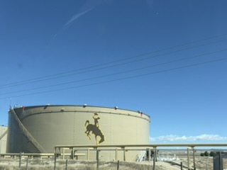
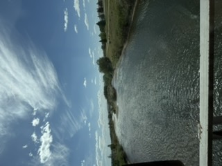
There are always more sights out the window: the North Platte River (we’ve crossed it more than a few times — just like the pioneers did), more trains, and the largest Jackalope you will ever see.

“If anything is endemic to Wyoming, it is wind.”
— Gretel Ehrlich